 Open web app
 Download mobile app
 GPS and maps
 Web Android iOS


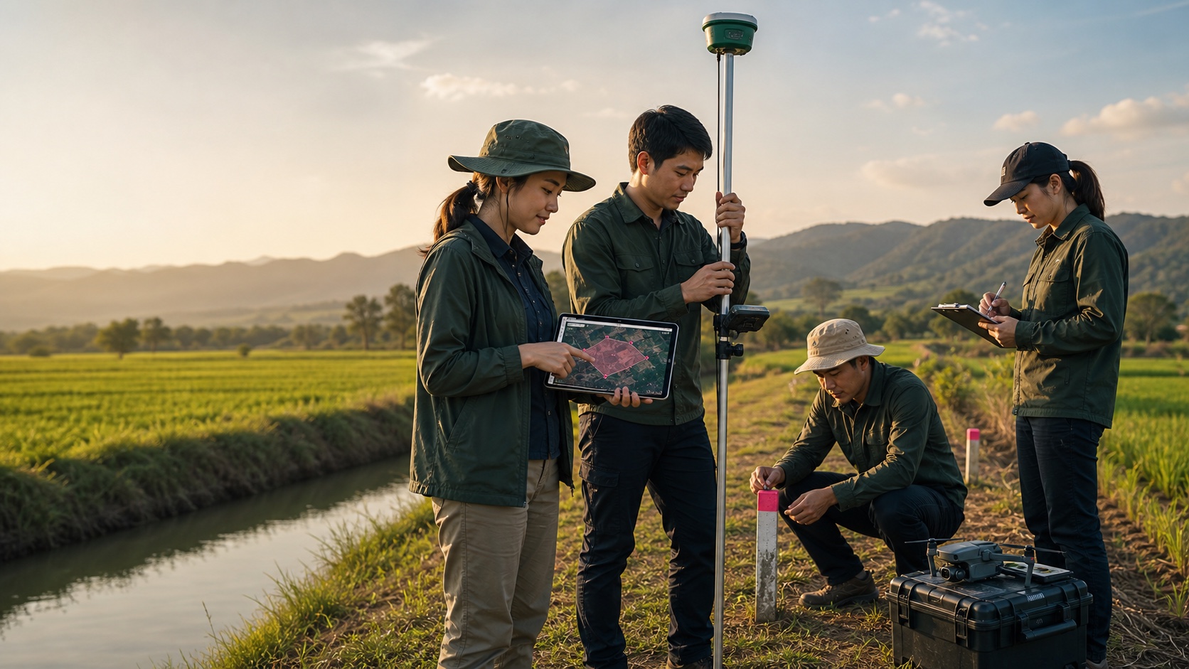
Field survey teams
Place boundary points, check lines and view results on a tablet while working on site
Map-based area measurement for real land work
A land area and distance measurement system trusted by more than 10 million users worldwide. Use it on web, Android and iOS to mark points, walk with GPS, save plots, share results and export map files for landowners, farmers and survey teams.
What makes work faster
Open the map workspace to measure area, measure distance, save plots and manage real field map data
OpenBrowse GLand-Markets to find land listings with map positions, parcel details, prices and contact information
OpenFind GLand-Jobs for survey work, land measurement, mapping, field data and property-related services
OpenUse GLand-Tools for coordinate conversion, unit conversion and field calculation utilities
OpenFollow posts, share field updates, discuss coordinates and land information, and connect with people across surveying, farming, property and mapping
OpenMobile app ecosystem
GLandMeasure has mobile apps for field work and a web app for reviewing work on a larger screen, sharing measurements and extending map data with your team.
Google Play screenshots
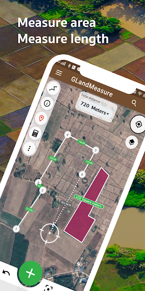
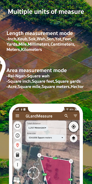
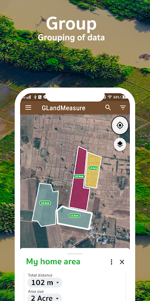
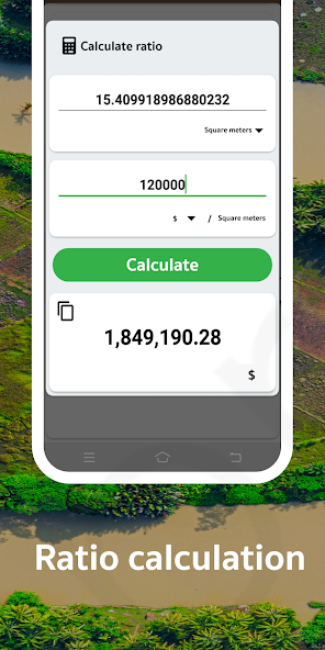
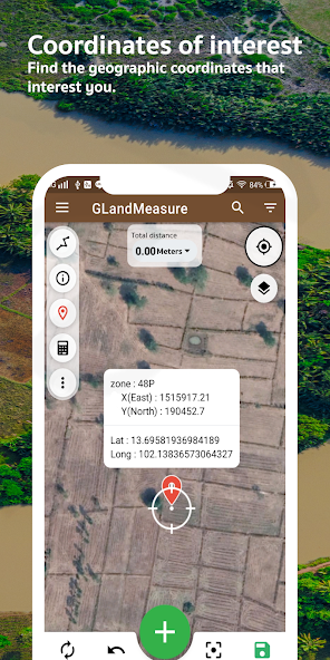
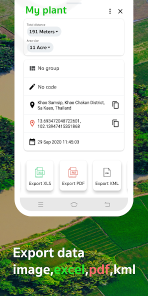
Selected screenshots from the Google Play listing help users quickly understand how GLand works with maps, area measurement and data management.
Real field surveying
Place boundary points, check lines and view results on a tablet while working on site
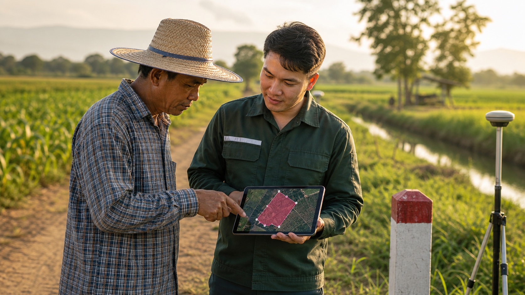
Discuss land details with one shared map view and reduce uncertainty before decisions
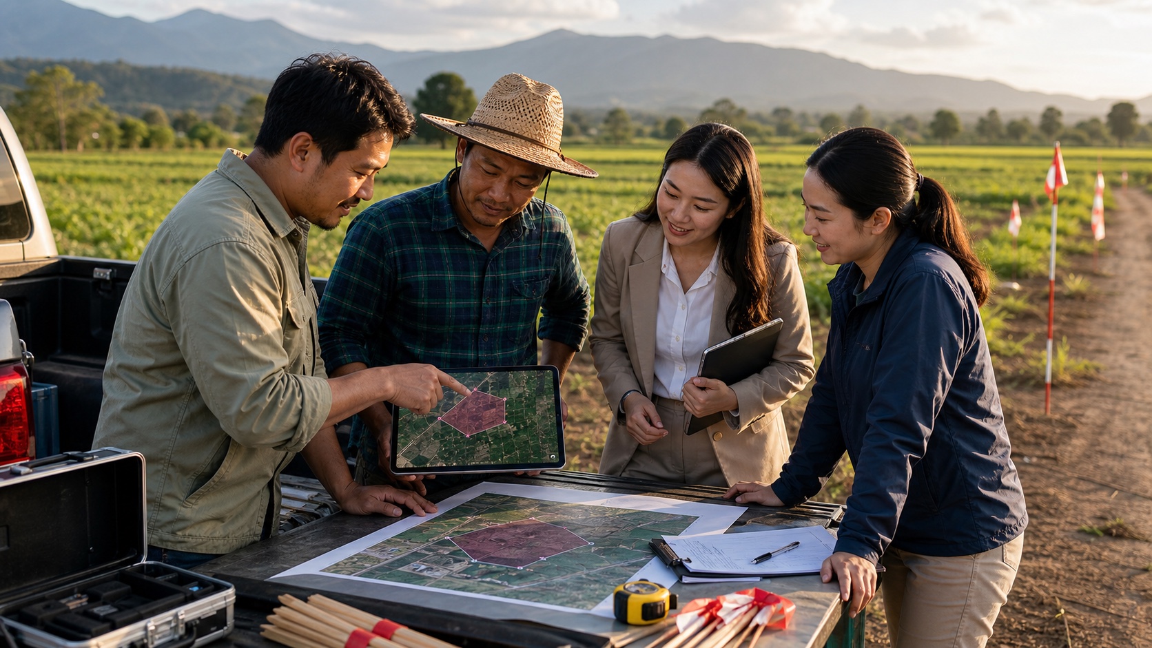
Surveyors, farmers, agents and project teams share the same data set
Workflow
Mobile is ideal for field collection and coordinates. Web is ideal for review, sharing and organizing parcel data before the team continues.
Start from current location, search an area or move the map to the target plot
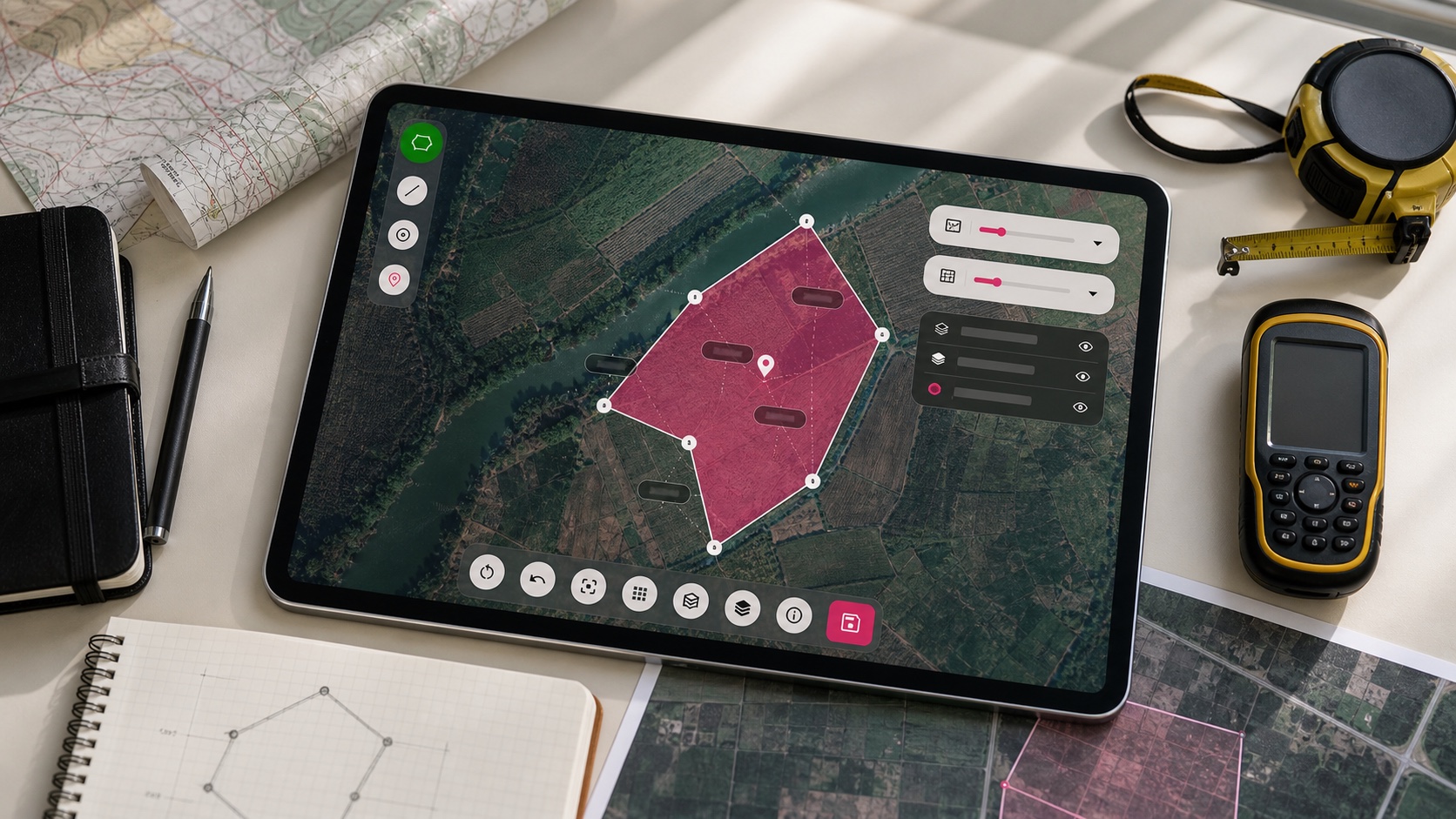
Tap around a plot to measure area or draw a line to measure distance step by step
Store results as jobs, add notes, then share links or export files
Map intelligence
Choose the map view that fits your work: satellite imagery for real land checks, road maps for routes, coordinate systems for field work and layers for deeper surveying.
Who it is for
Export and continue
Contact
Ask questions, report issues, suggest features or discuss using GLand for your land work through the main channels below.
Ready to start

 KML
KML
