 Buksan ang web app
 I-download ang mobile app
 GPS at maps
 Web Android iOS


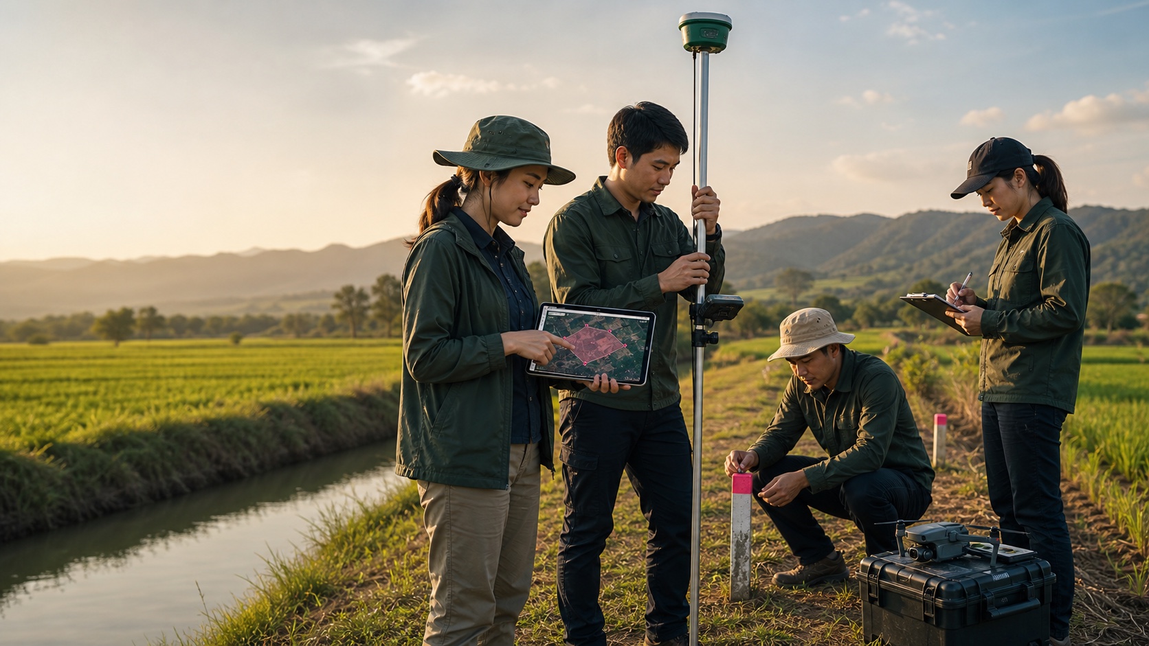
Field survey teams
Maglagay ng boundary points, i-check ang lines at tingnan ang resulta sa tablet habang nasa site
Map-based area measurement para sa totoong land work
System para sa pagsukat ng area at distansya na pinagkakatiwalaan ng higit 10 milyong users sa buong mundo. Gamitin sa web, Android at iOS para magmarka ng points, maglakad gamit GPS, mag-save ng lote, mag-share ng results at mag-export ng map files.
Mga nagpapabilis ng trabaho
Gumawa ng polygon o distance line at makita agad ang resulta
BuksanTingnan sa GLand-Markets ang mga lupa na may lokasyon sa mapa, detalye ng lote, presyo at contact information
BuksanMaghanap sa GLand-Jobs ng trabaho at serbisyo sa survey, land measurement, mapping at field data
BuksanGamitin ang GLand-Tools para mag-convert ng coordinates at units at gumawa ng field calculations
BuksanSubaybayan ang posts, magbahagi ng field updates, pag-usapan ang coordinates at lupa, at kumonekta sa mga tao sa surveying, farming, property at mapping
BuksanMobile app ecosystem
May mobile apps ang GLandMeasure para sa field work at web app para mag-review sa malaking screen, mag-share ng measurements at magpatuloy ng map data kasama ang team.
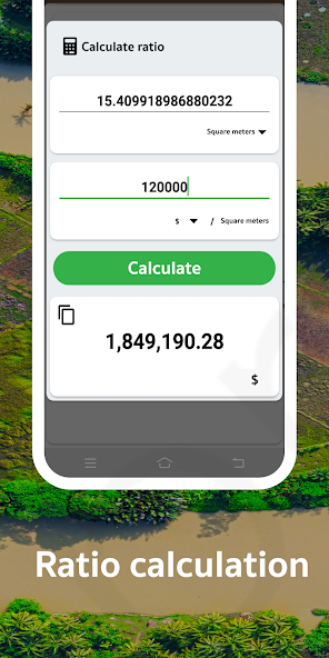
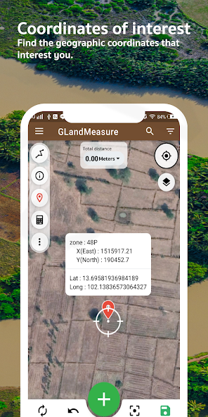
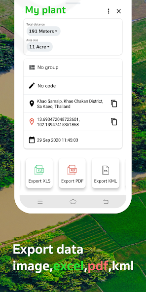
Google Play screenshots
Mga screenshot mula Google Play para mabilis maintindihan kung paano ginagamit ang GLand sa maps, area measurement at data management.
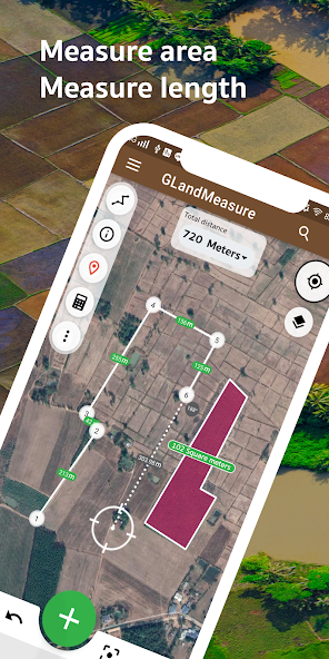
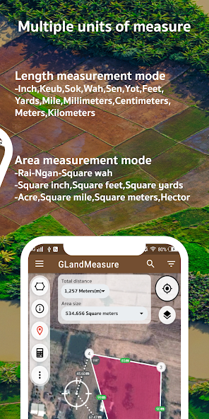
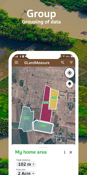
Totoong field surveying
Maglagay ng boundary points, i-check ang lines at tingnan ang resulta sa tablet habang nasa site
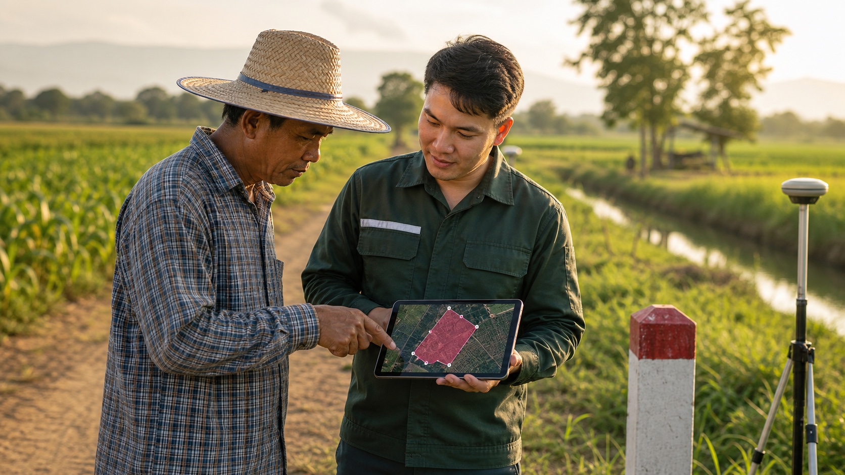
Pag-usapan ang detalye ng lupa gamit ang iisang map view para mabawasan ang kalituhan
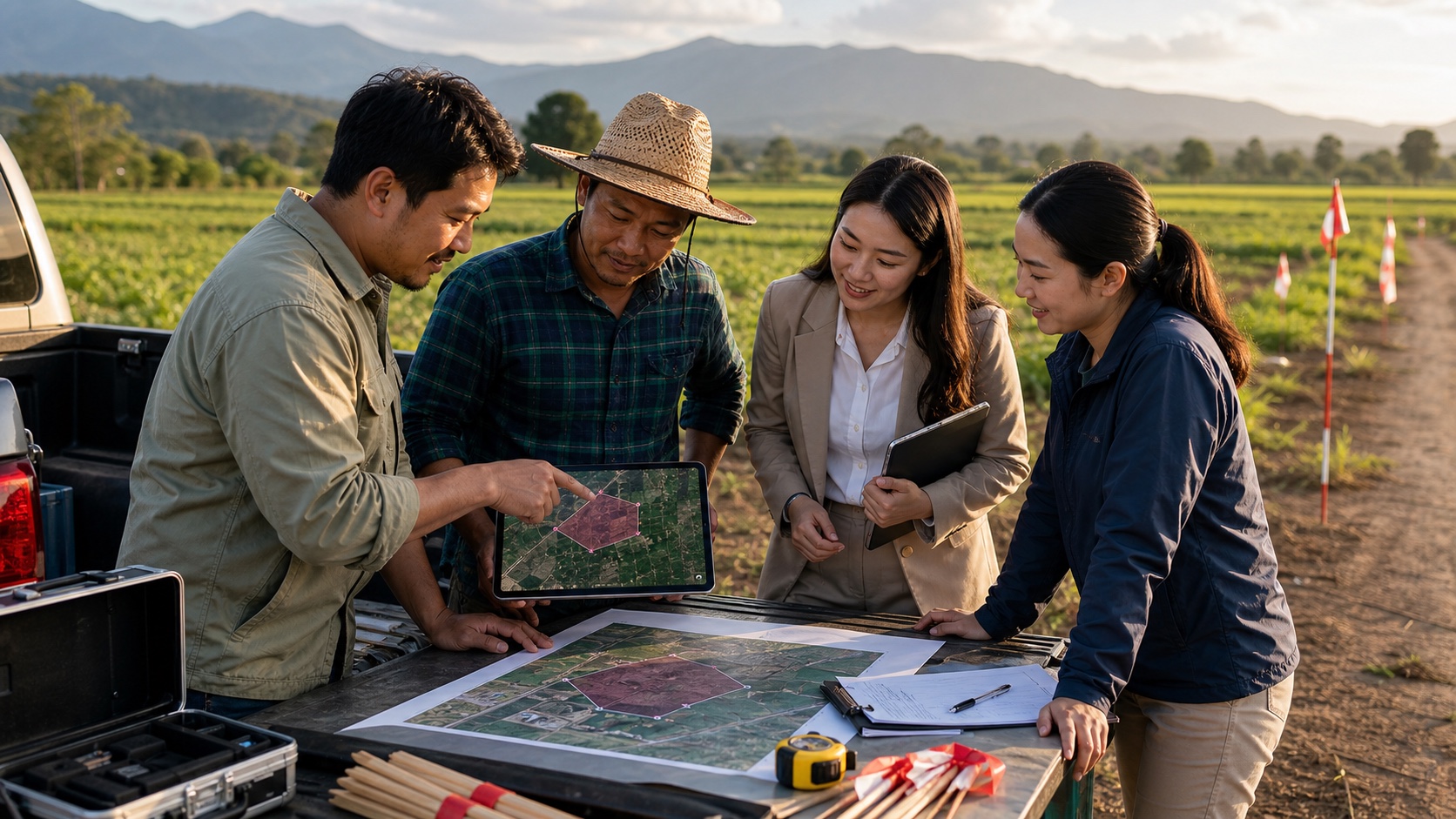
Surveyors, farmers, agents at project teams ay gumagamit ng parehong data set
Workflow
Mobile ang bagay sa field collection at coordinates. Web ang bagay sa review, sharing at organizing ng parcel data.
Magsimula sa current location, maghanap ng area o ilipat ang map sa target plot
I-tap ang paligid ng plot para sukatin ang area o gumuhit ng line para distansya
I-save ang results bilang jobs, magdagdag ng notes at mag-share ng links o export files
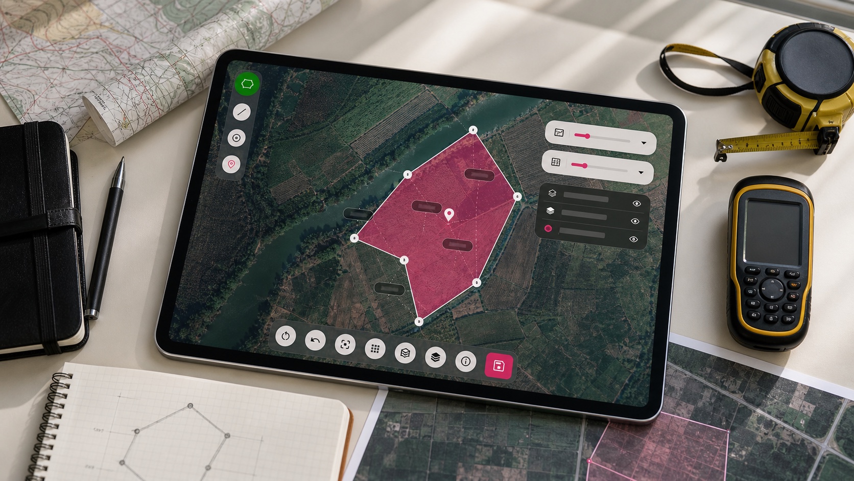
Map intelligence
Pumili ng map view: satellite para makita ang lupa, road map para ruta, coordinates para field work at layers para mas detalyadong survey.
Para kanino
Export at continue
Contact
Magtanong, mag-report ng issue, mag-suggest ng feature o pag-usapan ang paggamit ng GLand sa land work mo.
Ready magsimula

 KML
KML
